
Loading cart contents...
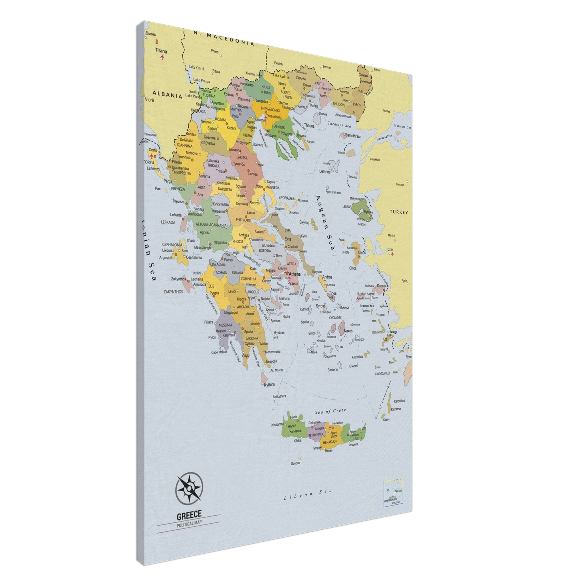
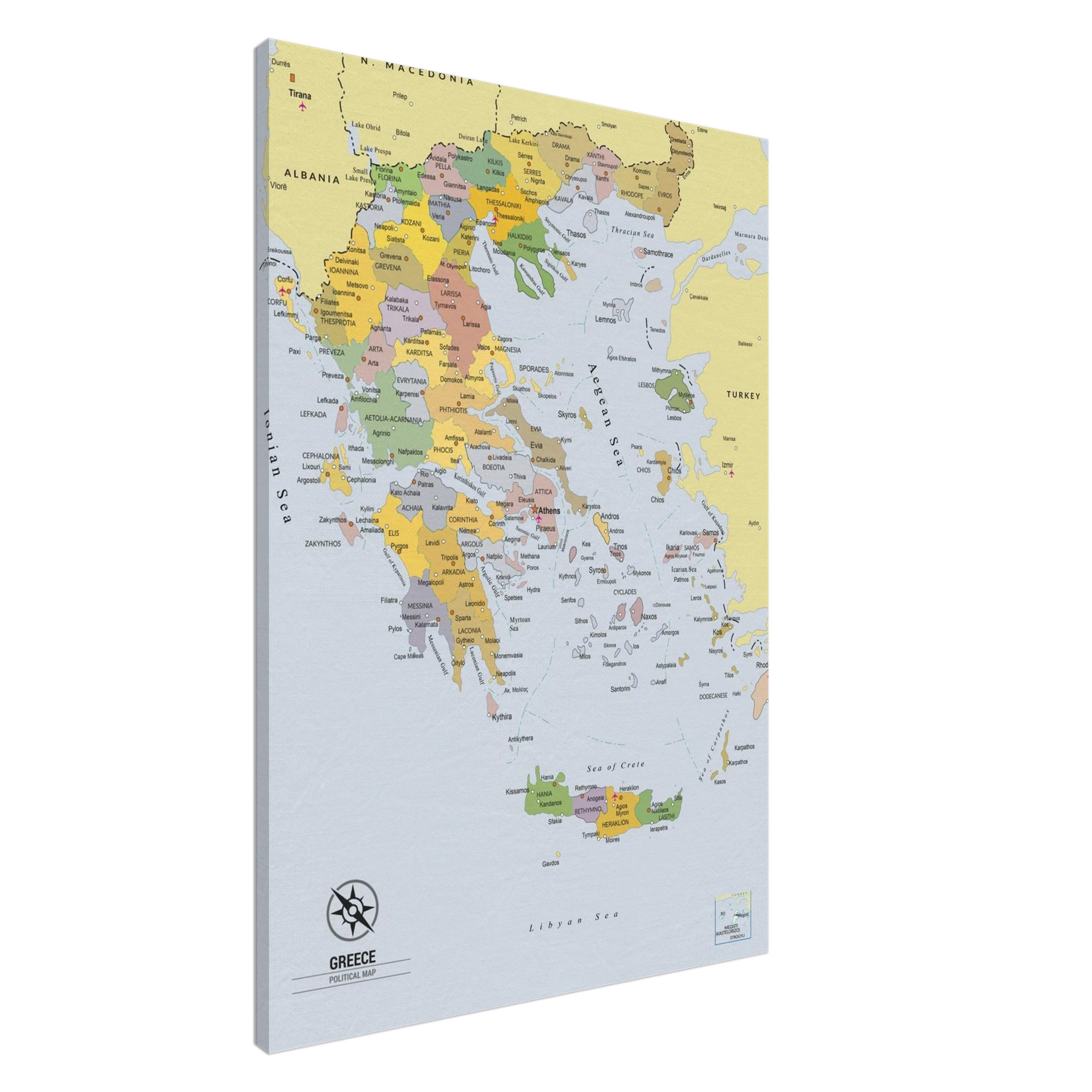
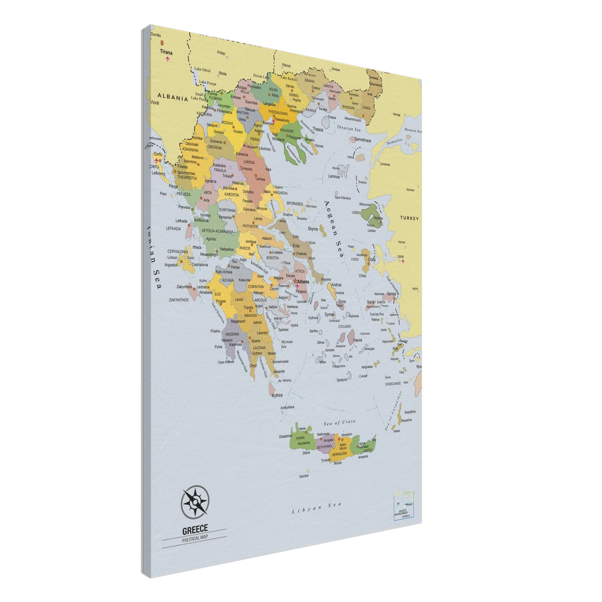
Greece map Political 70×100 cm / 28×40″ – Canvas
Price range: $154.30 through $204.56
Description
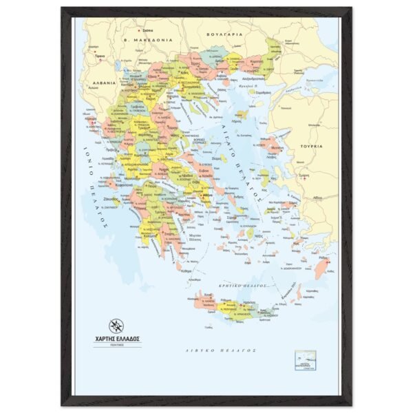
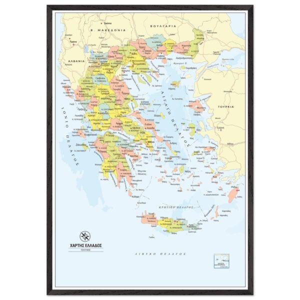
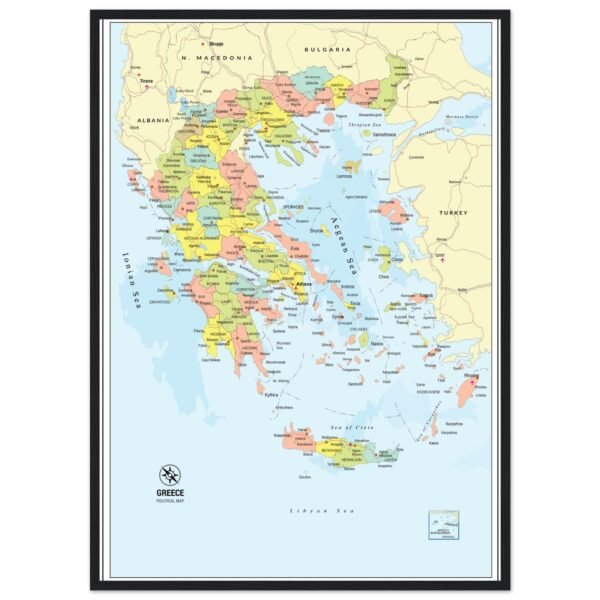
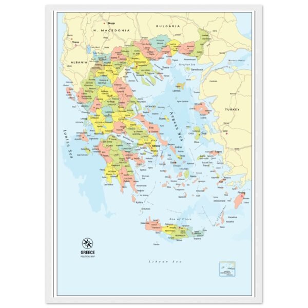
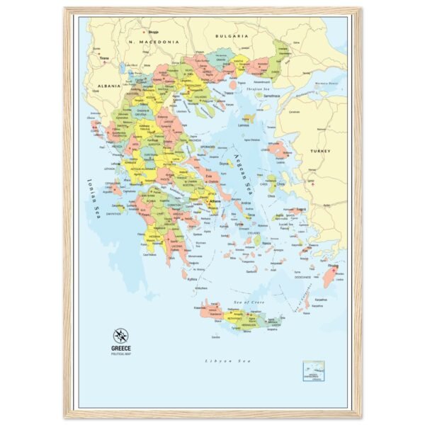
Discover Greece in detail with this beautifully designed political wall map.
Featuring all prefectures (nomoi), prefecture capitals, and the largest cities across the country, this map is an excellent educational resource and an elegant wall decoration for homes, schools, classrooms, and offices.
Designed for maximum readability, it combines clear typography with vibrant colors, making it easy to identify administrative boundaries and important urban centers throughout mainland Greece and its islands.
Whether you’re a teacher, student, traveler, or simply passionate about geography, this detailed political map provides an informative and attractive overview of Greece.
Enhanced texture and timeless beauty with our canvas print. The canvas texture enhances the image’s natural look and feel, creating a truly immersive art experience:
- Canvas Material: Responsibly sourced FSC-certified wood stretcher bars, cotton-polyester blend (300-350gsm, 350-400 microns).
- Thickness: Slim (2cm) and Thick (4cm) options.
- Available Sizes: 26 sizes in inches (US & Canada) and cms (rest of the world).
- Hanging Kit: Included, varies by country.
No minimum orders, printed and shipped on demand.
Additional information
| Weight | N/A |
|---|---|
| Style | Slim, Thick |
You must be logged in to post a review.
Related products
![A detailed political world map in muted colors with a grid of national flags displayed along the bottom border.]()
![d2adee9a-fcdb-409f-8e49-87aacf7f35a0]()
![ae161bc3-356f-49b0-9e90-180521f6dcab]() Price range: $186.94 through $318.64
![e530849b-1727-41e2-a942-cfd2870ff865]() Price range: $143.16 through $259.10
![Political Map of Greece with Prefectures & Capitals - Fine Art Framed Poster]()
![Political Map of Greece with Prefectures & Capitals - Fine Art Framed Poster]() Price range: $187.16 through $327.56
Reviews
There are no reviews yet.