
Loading cart contents...
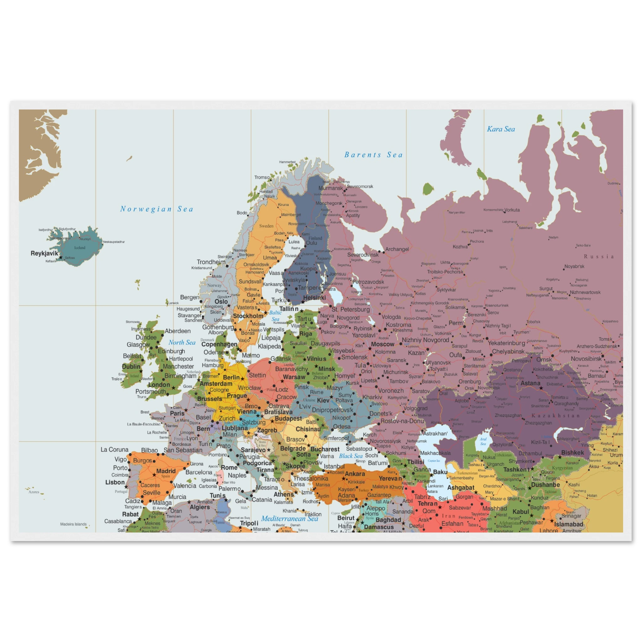
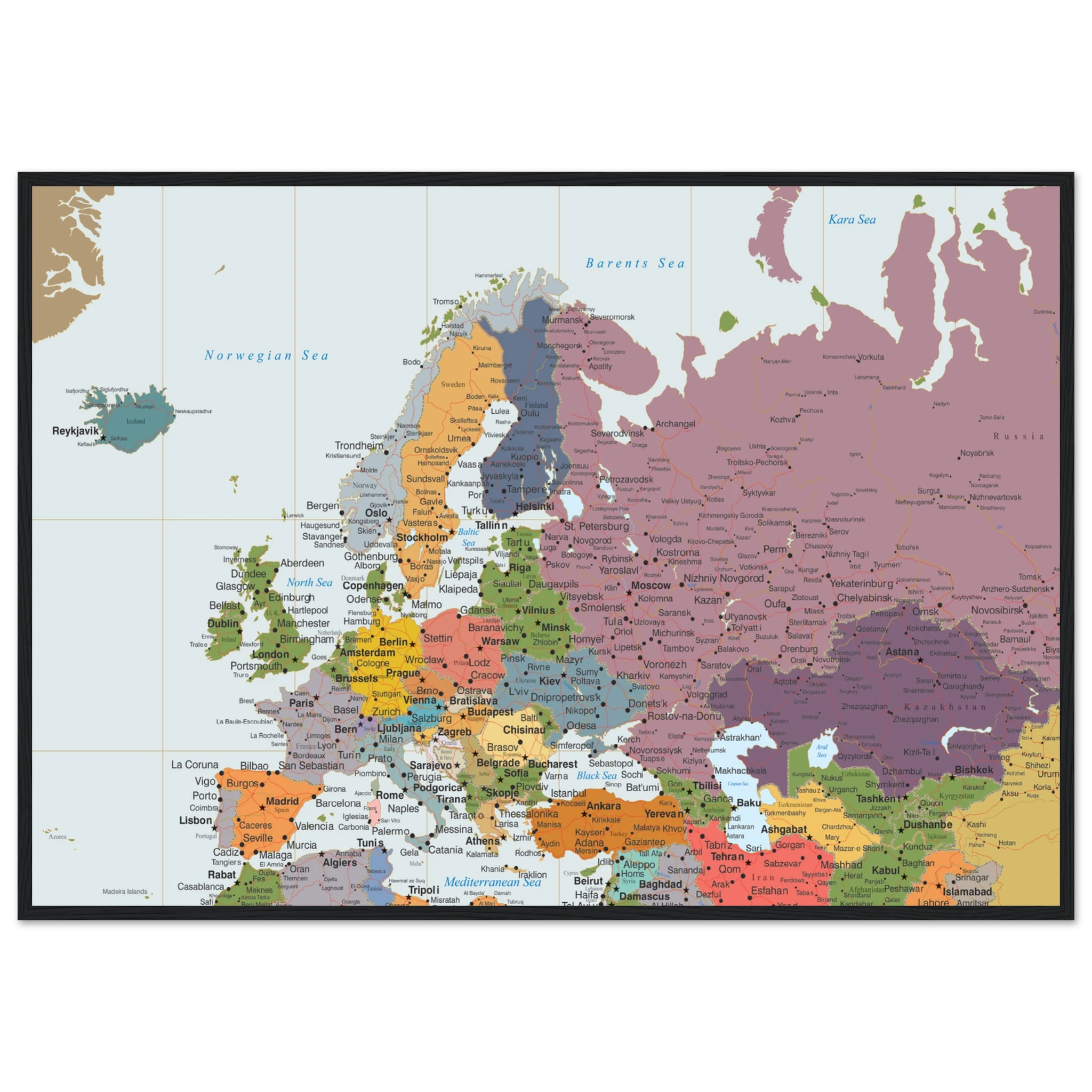
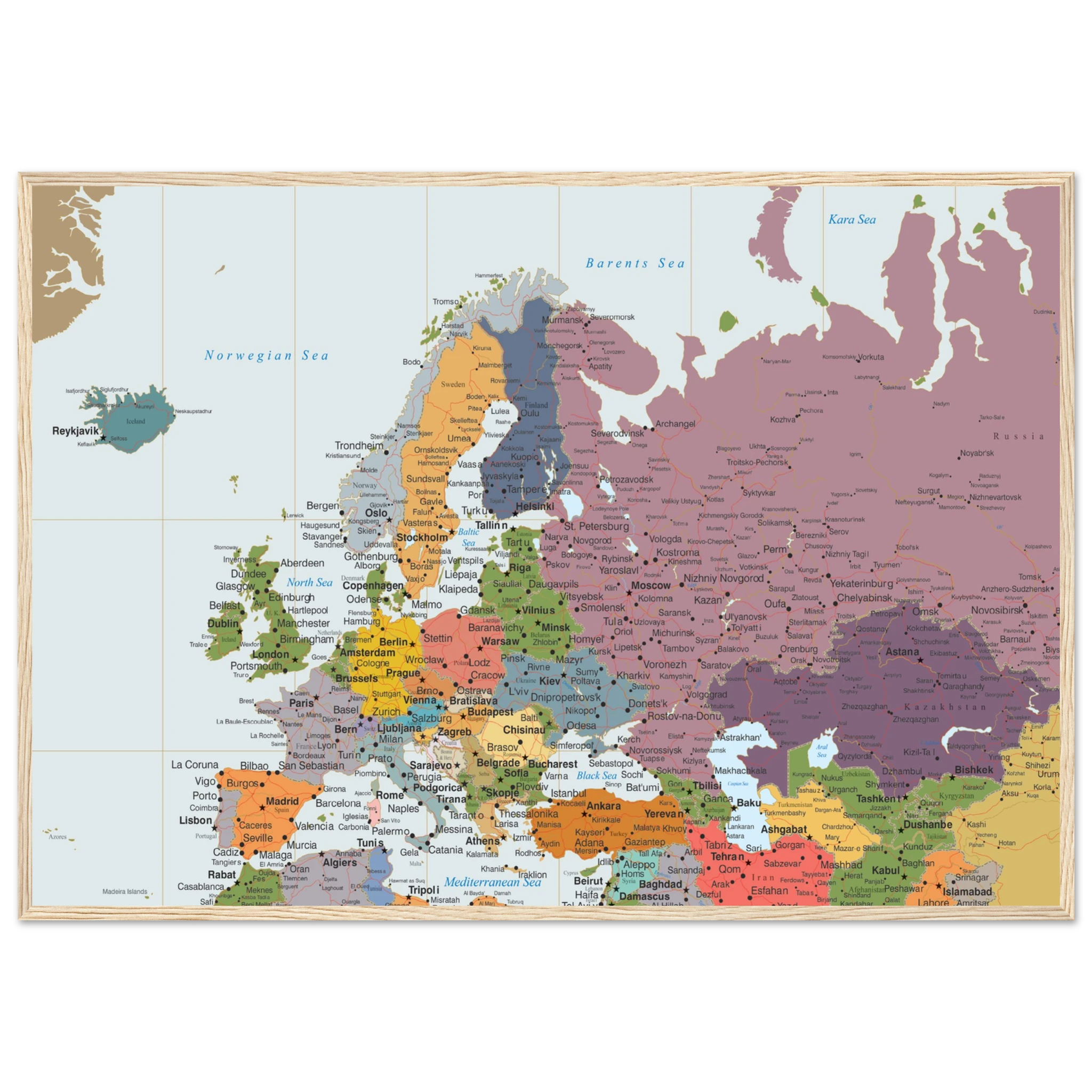
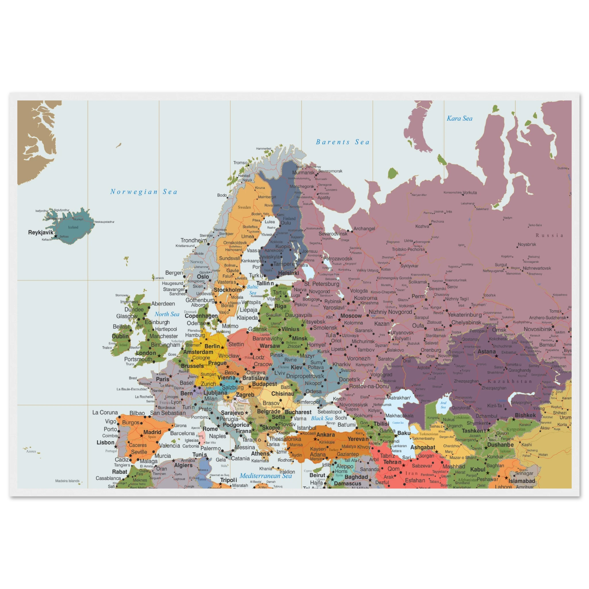
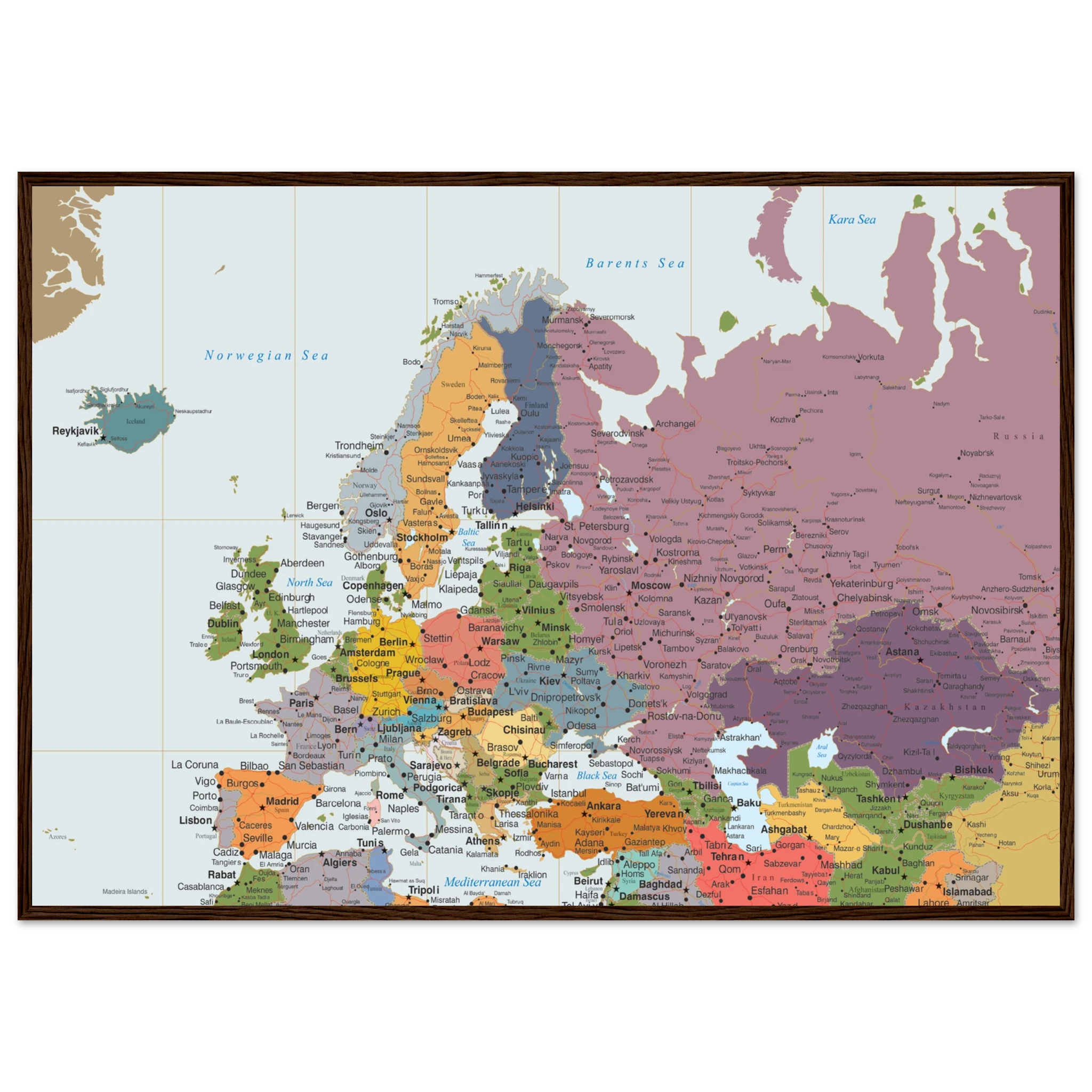
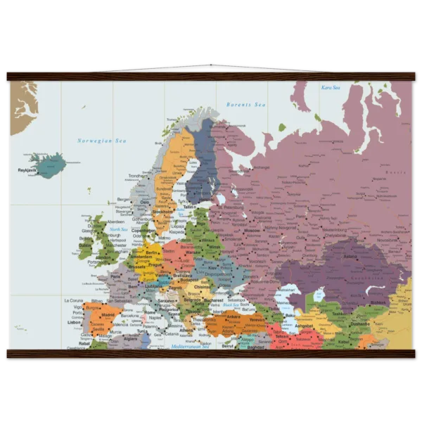
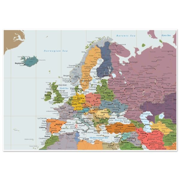
Highly Detailed Eurasia Map – Political Wall Map with Countries – 70×100 cm Fine Art Framed Poster
Explore the vast continent of Eurasia with this highly detailed political wall map. Featuring clearly defined country borders, capitals, major cities, rivers, mountains, and transportation networks, it is an ideal reference for education, travel planning, offices, and home décor.
Price range: $306.56 through $327.56
Description
Highly Detailed Eurasia Map – Political Wall Map with Countries – 70×100 cm
Discover our Fine Art Wooden Framed Posters – iconic artworks printed on luxurious matte paper with vivid colors using fine art 12-color printing technology. Perfect for adding elegance and lasting quality to any space.
- Color Vibrancy: Our 12-color fine art printing technology delivers vivid, accurate colors with stunning depth, far beyond standard 4-color inkjet printing technology.
- Frame Material: Durable pine wood.
- Paper Finishing: Smooth matte finish for a clean, glare-free display.
- Paper Weight: 200 gsm (80 lb), thickness: 0.26 mm (10.3 mils).
- Frame Measurements: 20mm (0.79″) thick, 10-14mm (0.4″-0.6″) wide.
- Available Sizes: Offered in a variety of sizes to fit any space or frame.
- Protection: Shatterproof plexiglass protects the poster.
- Eco-Friendly Materials: Printed on environmentally conscious, FSC-certified paper and wood.
- Ready-to-hang: Includes hanging kit, ready to hang directly on the wall.
No minimum orders, printed and shipped on demand to guarantee freshness and customization for every order.
Product Description
Discover the world’s largest landmass with this Highly Detailed Eurasia Map, designed to provide exceptional geographic accuracy and visual clarity. Covering both Europe and Asia on a single map, it displays every country in distinct colors, with clearly marked international borders, capitals, major cities, and significant natural features.
Whether you’re a teacher, student, traveler, business professional, or geography enthusiast, this beautifully designed wall map offers a comprehensive view of Eurasia’s political landscape while serving as an elegant decorative piece.
Printed in high resolution with crisp typography and vivid colors, this map is perfect for classrooms, offices, libraries, and modern interiors.
Product Features
- Highly detailed political map of Eurasia
- Countries displayed in different colors
- Clearly marked international borders
- Capitals and thousands of cities and towns
- Major rivers, lakes, mountain ranges, and coastlines
- Main road and railway networks
- Easy-to-read English labels
- High-resolution premium print
- Ideal for education, travel planning, and reference
- Suitable for home, office, classroom, and library display
Perfect For
- Geography enthusiasts
- Schools and universities
- Classrooms and libraries
- Offices and conference rooms
- Travel planning
- Students and teachers
- Home study spaces
- Thoughtful educational gifts
Additional information
| Weight | N/A |
|---|---|
| Frame Color | White frame, Wood frame, Dark wood frame, Black frame |
Related products
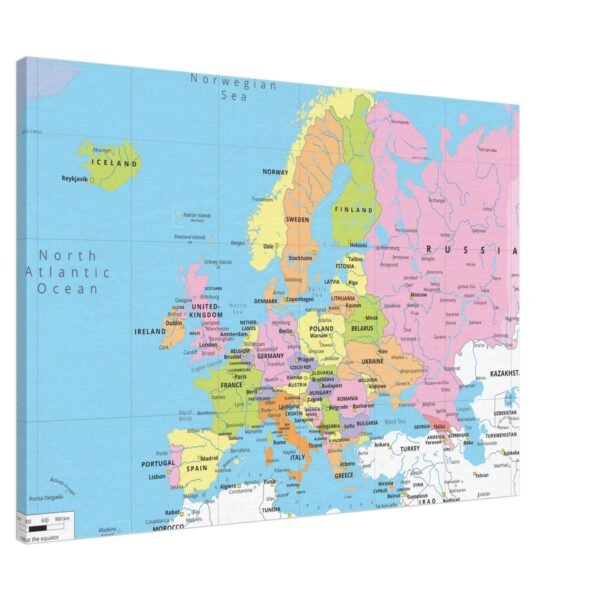
![A canvas wall map of Europe showing political borders, major cities, and countries in various pastel colors.]()
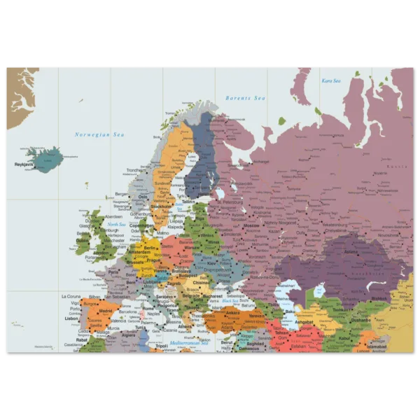
![A detailed political map of Europe and Western Asia showing country borders, major cities, and surrounding seas.]()
![1fcd0d9f-5b34-48d1-8f4c-d879e1a03fc1]()
![073fdea0-f76a-4658-917e-39b6de62d194]() Price range: $115.98 through $122.96
![Political map of Europe showing countries, capitals, borders, and major cities.]()
![Political map of Europe showing countries, capitals, borders, and major cities.]()
Reviews
There are no reviews yet.