
Loading cart contents...
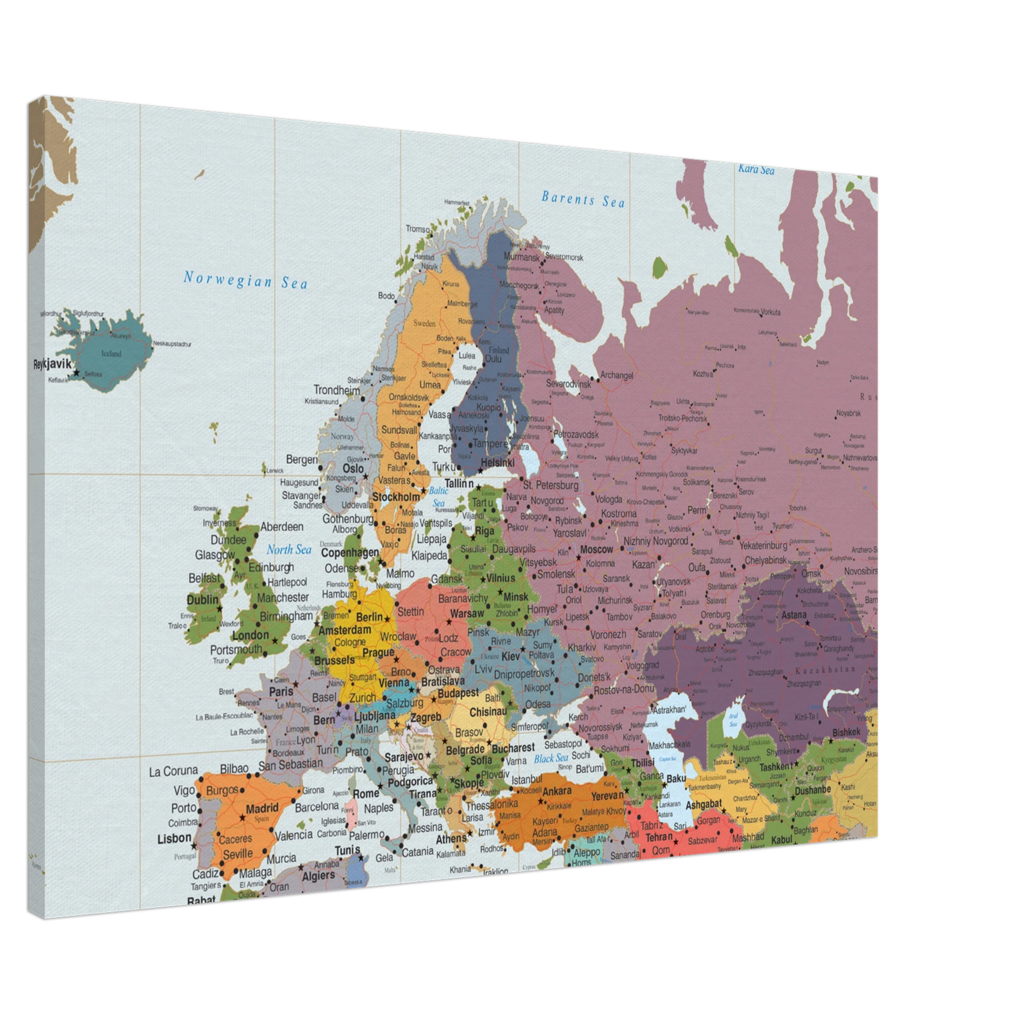
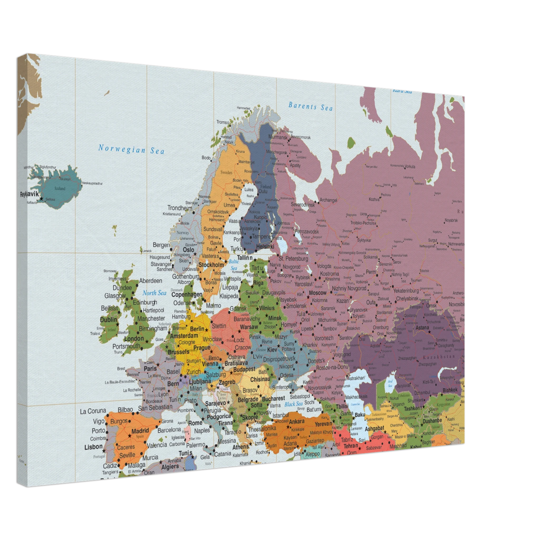
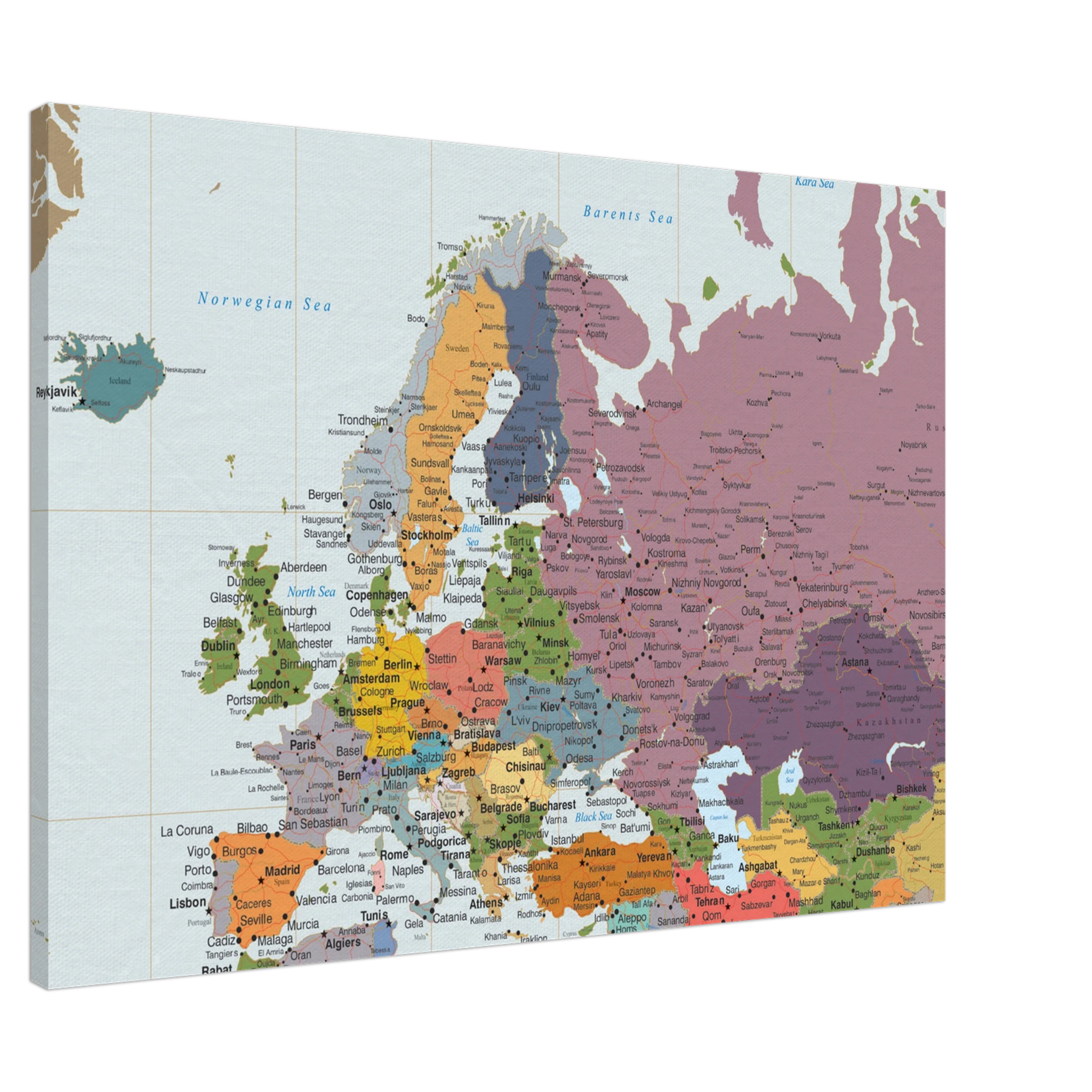
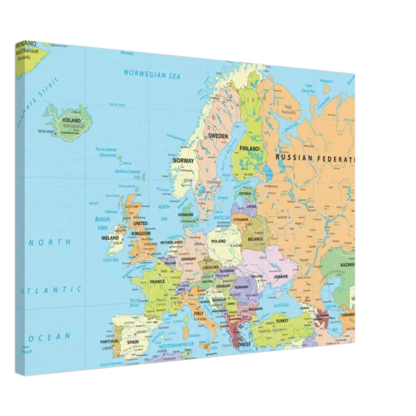
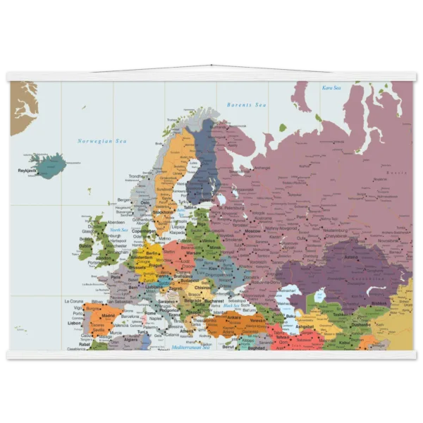
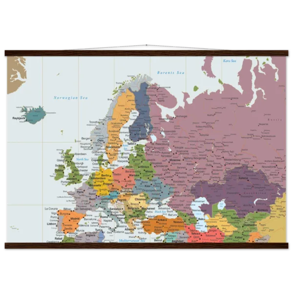
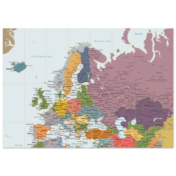
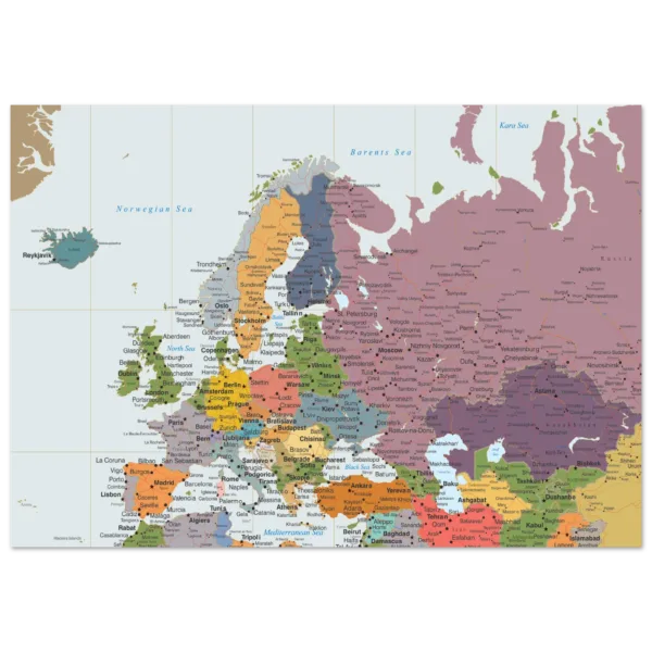
Highly Detailed Eurasia Map – Political Wall Map with Countries – 70×100 cm Canvas
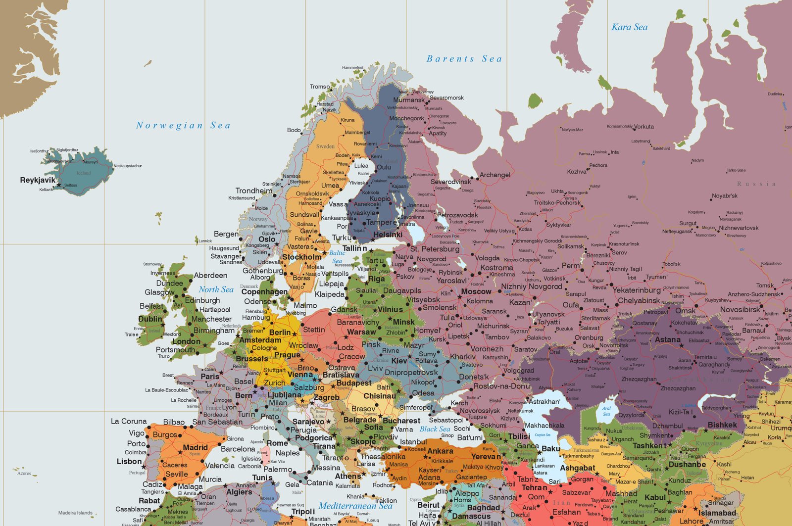
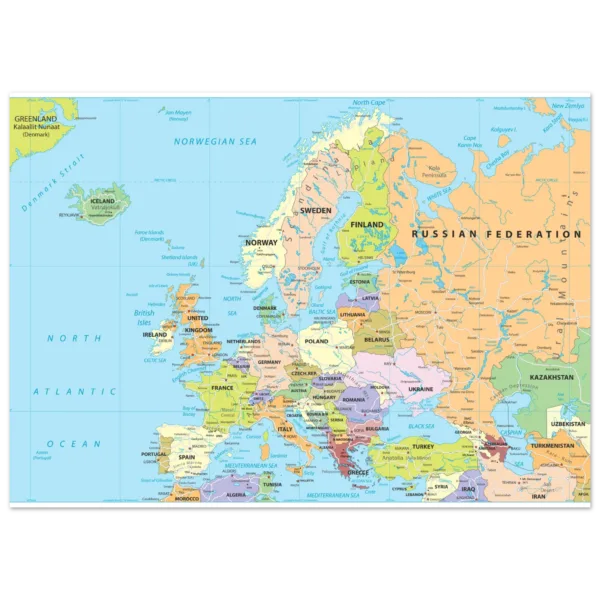
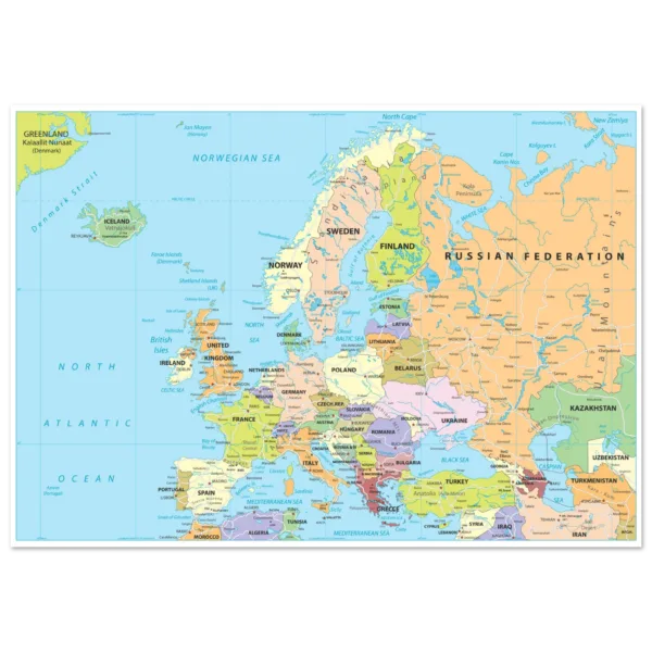
Explore the vast continent of Eurasia with this highly detailed political wall map. Featuring clearly defined country borders, capitals, major cities, rivers, mountains, and transportation networks, it is an ideal reference for education, travel planning, offices, and home décor.
Price range: $154.30 through $204.56
Description
Highly Detailed Eurasia Map – Political Wall Map with Countries – 70×100 cm Canvas
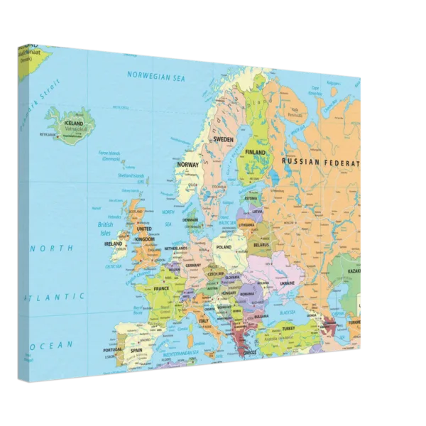
Enhanced texture and timeless beauty with our canvas print. The canvas texture enhances the image’s natural look and feel, creating a truly immersive art experience:
- Canvas Material: Responsibly sourced FSC-certified wood stretcher bars, cotton-polyester blend (300-350gsm, 350-400 microns).
- Thickness: Slim (2cm) and Thick (4cm) options.
- Available Sizes: 26 sizes in inches (US & Canada) and cms (rest of the world).
- Hanging Kit: Included, varies by country.
Product Description
Discover the world’s largest landmass with this Highly Detailed Eurasia Map, designed to provide exceptional geographic accuracy and visual clarity. Covering both Europe and Asia on a single map, it displays every country in distinct colors, with clearly marked international borders, capitals, major cities, and significant natural features.
Whether you’re a teacher, student, traveler, business professional, or geography enthusiast, this beautifully designed wall map offers a comprehensive view of Eurasia’s political landscape while serving as an elegant decorative piece.
Printed in high resolution with crisp typography and vivid colors, this map is perfect for classrooms, offices, libraries, and modern interiors.
Product Features
- Highly detailed political map of Eurasia
- Countries displayed in different colors
- Clearly marked international borders
- Capitals and thousands of cities and towns
- Major rivers, lakes, mountain ranges, and coastlines
- Main road and railway networks
- Easy-to-read English labels
- High-resolution premium print
- Ideal for education, travel planning, and reference
- Suitable for home, office, classroom, and library display
Perfect For
- Geography enthusiasts
- Schools and universities
- Classrooms and libraries
- Offices and conference rooms
- Travel planning
- Students and teachers
- Home study spaces
- Thoughtful educational gifts
Additional information
| Weight | N/A |
|---|---|
| Style | Slim, Thick |
Related products
![Political map of Europe showing countries, capitals, borders, and major cities.]()
![Political map of Europe showing countries, capitals, borders, and major cities.]() Price range: $76.70 through $117.38
![Political map of Europe showing countries, capitals, borders, and major cities.]()
![Political map of Europe showing countries, capitals, borders, and major cities.]() Price range: $123.28 through $204.56
![1fcd0d9f-5b34-48d1-8f4c-d879e1a03fc1]()
![073fdea0-f76a-4658-917e-39b6de62d194]() Price range: $115.98 through $122.96
![160cc196-9be6-4fdb-bc26-045d2440dfaf]()
![c2fa1859-4dfe-478c-9689-be95e51c4f11]()
Reviews
There are no reviews yet.